

Group of Historical New York State Maps
| Lot #: 173 Group of Historical New York State Maps |
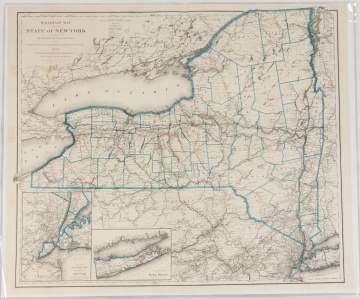
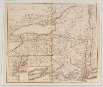
| 1888 Map of the Railroads of the State of New York (36" x 44 1/4"); 1894 Map of the Railroads of the State of New York (35 1/4" x 39"); Map of the Frontiers of the Northern Colonies, 1768 (11 1/4" x 17 1/4"); Map of the Frontiers of the Northern Colonies, 1768 (25" x 37 1/4"); Railroad Map of the State of New York, 1893 (28" x 36"); Railroad Map of the State of New York, 1883 (36" x 44 3/4"); Railroad Map of the State of New York, 1897 (33 1/2" x 39"); Railroad Map of the State of New York, 1892 (36" x 45"); Railroad Map of the State of New York, 1895 (35" x 39") |
|
Provenance The Rochester Historical Society. |
|
Auction Date Dec 05, 2018 |
| Estimate: $200-$400 |
Shipping Information:
Unlike many auction companies, Cottone Auctions offers a full-service shipping department. We’re equipped to pack and safely ship just about any item to just about any location around the globe.
Learn more >