

Group of Early Maps
| Lot #: 176 Group of Early Maps |
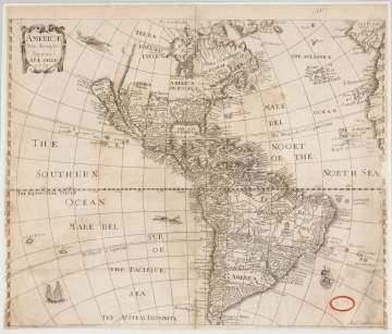
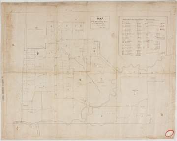
| Americae Nova description Impensis Anae Seile, 1663(14" x 16 1/2"); William C. Woodbridge United States Map, 1821 (12 1/2" x 19 1/2"); A New Map of America, 1799, by Mr. Wauthier (18 1/4" x 15"); Anthony Iacobsz Americae Sepentrionalis Par From the West Inditche Paskaest, 1621 (16 1/2" x 20 3/4"); The Province of Pennsylvania printed in 1770 (24" x 34"); First Sheet of De Witt's State Map of New York (21" x 29"); John Olney Map of the Hermitage Tract in the Town of Groveland; |
|
Provenance The Rochester Historical Society. |
|
Auction Date Dec 05, 2018 |
| Estimate: $200-$400 |
Shipping Information:
Unlike many auction companies, Cottone Auctions offers a full-service shipping department. We’re equipped to pack and safely ship just about any item to just about any location around the globe.
Learn more >