

Group of Various Maps
| Lot #: 205 Group of Various Maps |
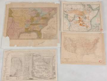
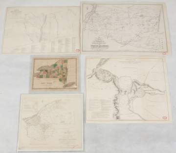
| Map of the United States: Published by Hartford, 1834, 20" x 23". Battle Fought Near Lake George: Printed lithograph, 1852, 11 3/4" x 20 1/4". Map of African Slave Trade: 1889, 14" x 17". Map of the United States of America: 17" x 13". Map of the Seat of War in Africa 1899. National Geographic Magazine. 50" x 35" Map of the Towns of Livingston: 1850 copy of 1798 map., 17 1/2" x 25". Topography Map of Mohawk River in Woodcreek: Lithograph copied from a 1758 original, 18 1/2" x 21 1/2". Map of the State of NY: McComb's purchase, 14" x 15". Bleaker Copy of Survey from 1767: 15 1/2" x 21". State of NY Map: Published by Finley, 1826, 10" x 12 1/4". Copy of the Village of Buffalo, 1804, 21 x 17 1/2". Map of the French and English Grants of Lake Champlain, 22" x 12 1/2". |
|
Provenance Rochester Historical Society, Rochester, NY. |
|
Condition Some tears and loss. |
|
Auction Date Dec 05, 2018 |
| Estimate: $200-$400 |
Shipping Information:
Unlike many auction companies, Cottone Auctions offers a full-service shipping department. We’re equipped to pack and safely ship just about any item to just about any location around the globe.
Learn more >